Road to Karijini


How we got to Karijini
The route covers approximately 1,500+ kilometers of varying road conditions - from sealed highway through Moora and Mullewa, to the excellent gravel of the Carnarvon-Mullewa Road past Bilung Pool, and finally the challenging 4WD tracks via Mount Augustus to reach the spectacular gorges of Karijini.

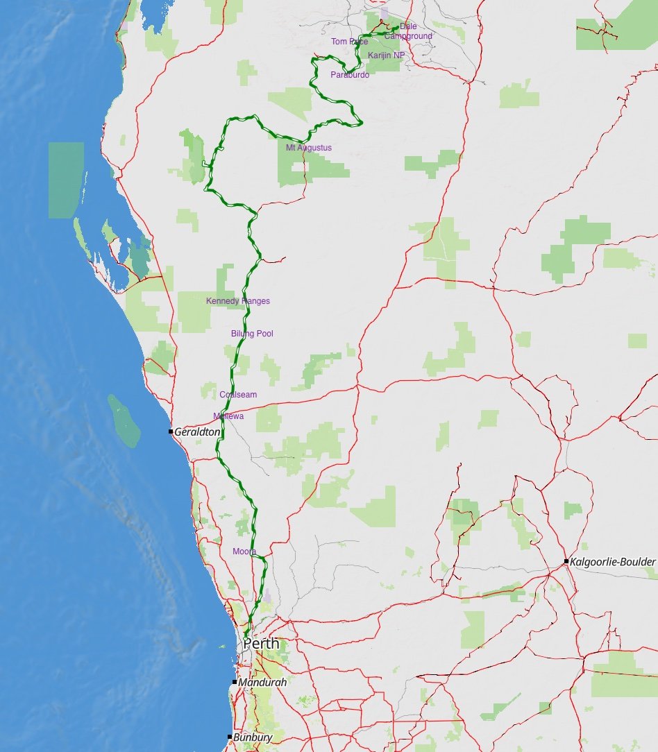
Recommendations:
We travel alone so this is our recommendation in case we get into strife
- Carry a personal beacon (as my husband would say kiss my ass device)
- Prepare maps ,routes
- Use Starlink for connection
- Recovery gear
- Always check your tyre pressure depending on road conditions
- Two spare tyres strongly advised
- Check updates on weather road closures before departure
- Travel during cooler months (May-August)
- Expect seasonal closure - this route can become impassable after rain
- Supplies enough water and food
We set off from Perth WA around 4pm on Tuesday, 16th May 2025 with our Ford Ranger 4BK and our Topaz which is known as the Depaz loaded up with supplies we headed off to our new adventure.
We proceeded to Tonkin highway where ended up in Moora, just over 2 hours splurged on a expensive pub meal, to celebrate new beginnings, then stayed overnight at the free RV stopover Moora Recreation reserve.
Moora
OVERNIGHT RV AREA
- A maximum of three nights stay is permitted
- This site is restricted to Self-Contained vehicles only.

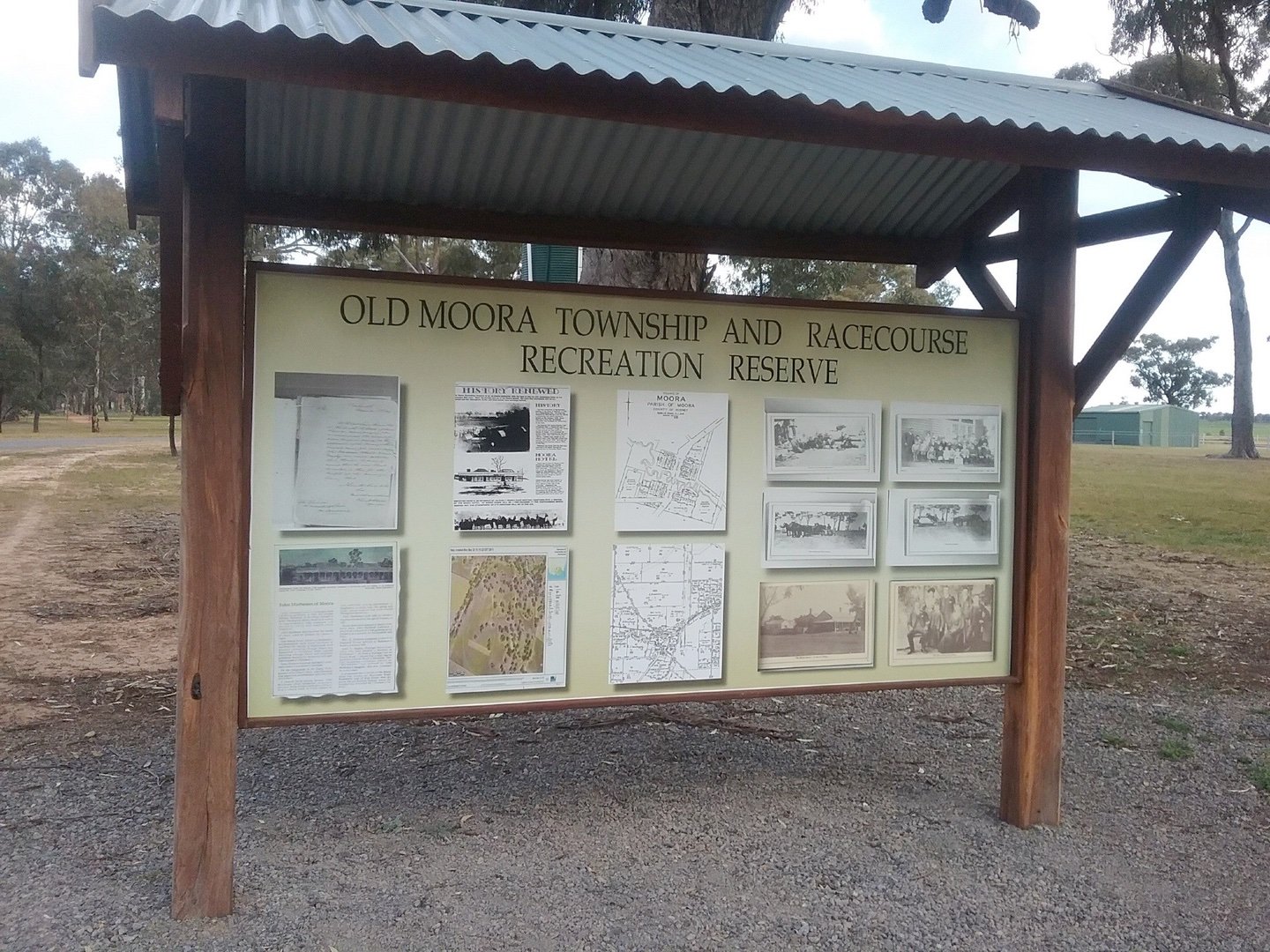
RV FRIENDLY TOWN
- Please consider your fellow travellers and local residents by reducing noise from 8pm.
- The consumption of alcohol
Wednesday 17/5/2023 up really early headed north,Miginew checked fuel, $1.78 per litre. Our internet wasn't working Rob said get it down the road in Mullewa . Big mistake went past Coalseam turn off which was first mistake ouch continued on to Mullewa 2nd ouch $1.99 a litre .Connected to mullewa carnarvon road where if we had of filled up earlier would have saved money and hour of time. Note to self Check your fuel apps beforehand.
So headed down to Mullewa Carnavon Road. We travelled 697 kilometres, that day ending up at Bilung pool overnight beautiful oasis .Capturing the sunset while hubby was driving.
Changing sunset-Murchison Area


Bilung pool
-25.70489 115.98579
Bilung Pool is located approximately 150km north of Murchison Settlement. This is a stunning natural waterhole on the Wooramel River - considered a hidden gem and one of the trip's highlights has striking cliffs, surrounded by large river red gums. There's a free camping area with picnic facilities, though no amenities. Access is via a short 200m track off the main road.


Thursday completed repairs to new spotlights which broke loose night before then also finding part of bullbar broken a bit annoying lots of bugs & Moo poo.Not a great day but the beautiful Bilung pool made up for it. Left Bilong came around Gascoyne Junction got fuel ouch $2:08 litre then headed offroad which was horrendous 120 klm of river bed roads.
Fuel supplies are at Gascoyne Junction and the Mount Augustus Tourist Park. Gascoyne Junction to Mt Augustus is 305km (via the Ullawarra Rd) and 288km (via the Carnarvon-Mullewa/Cobra Dairy Creek Rd). Roads in the inland Gascoyne are mostly unsealed. Roads can be substantially damaged and/or closed after rainfall. Call in to the Carnarvon Visitor Centre for the latest road condition report. Note, closures of the road can occur whilst you're travelling.
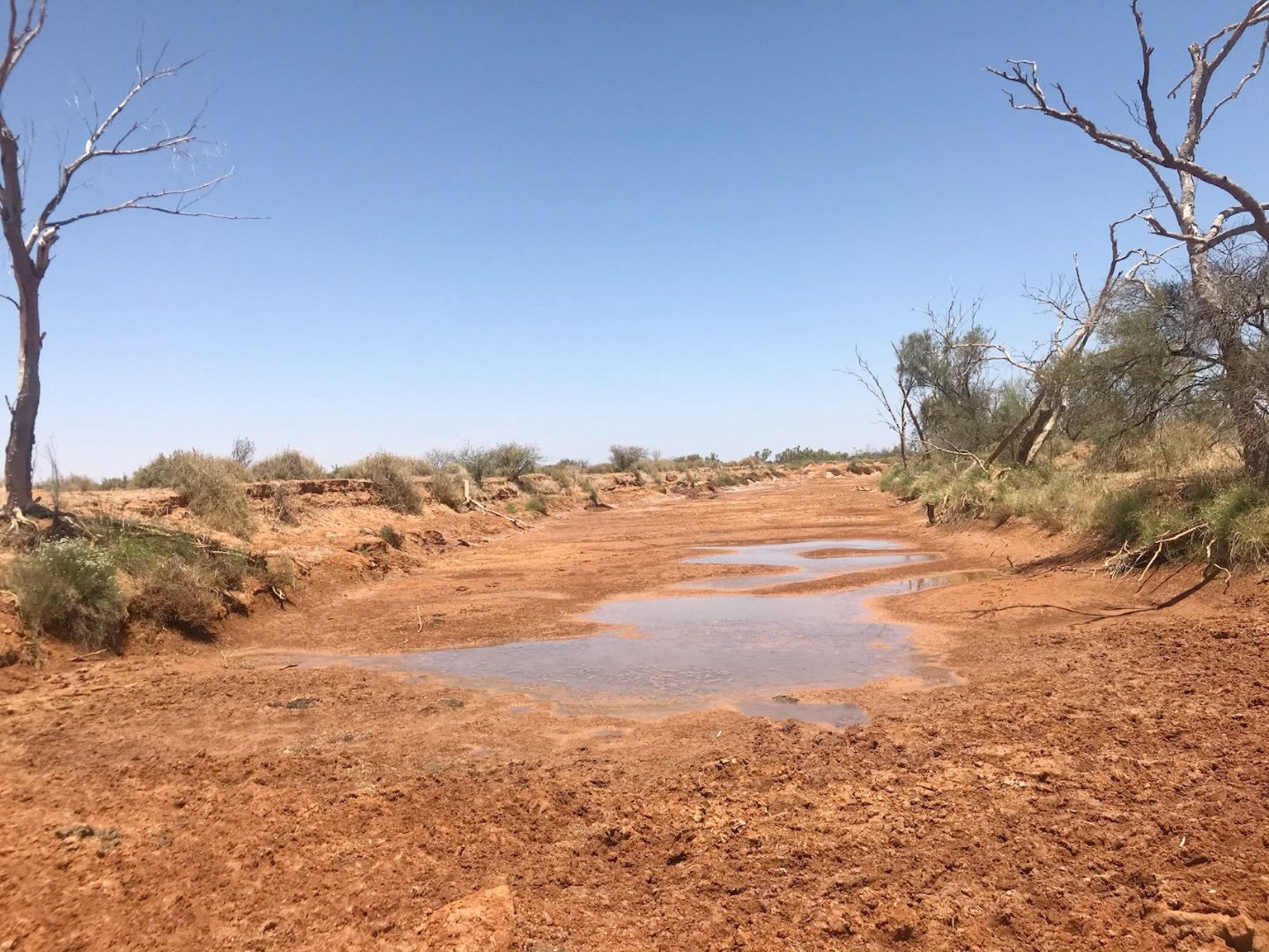
Somewhere along the Carnarvon-Mullewa Road in the Gascoyne-Murchison region of Western Australia.


Kennedy Ranges Temple Gorge.

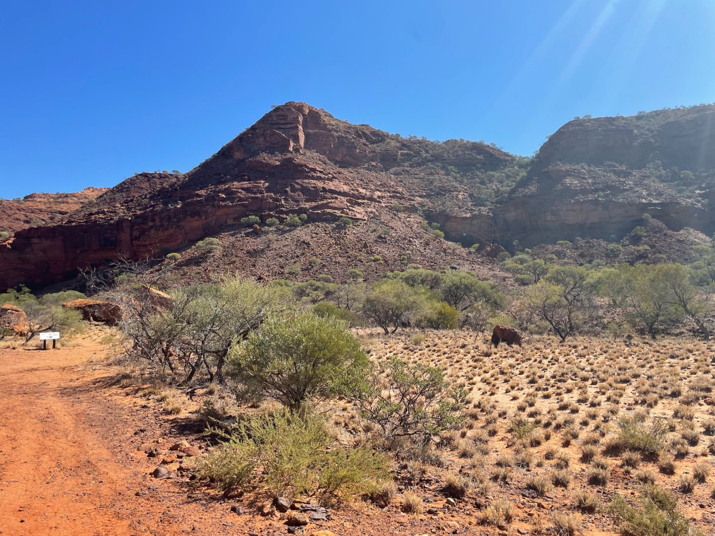
The Kennedy Ranges in Western Australia are rugged, ancient sandstone plateau known for their dramatic red cliffs, gorges ,with vast outback scenery.
There are six walk trails in the park – Temple Gorge, Honeycomb Gorge, Drapers Gorge, the Escarpment Trail (leading to the top of the range), the Escarpment Base Trail.
Facilities
Temple Gorge campground is a bush campsite. Camping fees apply. Camping fees are $8 for Adult (16 Years or older), $6 for Concession and $3 for Children (6 - 15 Years). Booking are not required for this camp site, simply arrive and find a spot.To assist visitors, the Parks and Wildlife Campground Hosts are usually based at the camp, from May to September. We didn't see hosts while there but an honesty box is available to pay your camping fees.Toilets are provided but there is no water available. There is a communal-use firepit,collecting wood in the park is not permitted, byo wood, also personal campfires are strongly discouraged.Its to protect wildlife habitat and the ecology of the national park
Rules
No dogs or other domestic animals.
Generator use is permitted 8am-9pm only.
Do not empty waste from portable toilets into campground toilets. Carry waste out of the park for disposal in an authorised dump point.
Carry all waste out of the park. No bins provided.
Once again beautiful relaxing stunning easy setup, half an hour done.

There are six walk trails in the park – Temple Gorge, Honeycomb Gorge, Drapers Gorge, the Escarpment Trail (leading to the top of the range), the Escarpment Base Trail, and Sunrise View.Most of the walk trails follow creek lines and are often rocky. Rock pools are seasonal and not fit to drink from.The walk trails have been graded according to the Australian Standards for Walking Tracks. Look for the different coloured markers indicating the trail class. Most of all do your research 👍
TIPS FOR YOUR SAFETY
The risks from exposure and dehydration are significant in this area.
- Always be aware of your surroundings .
- Carefully review your daily drinking water needs. Carry cool water if possible;
- There is no drinking water in the park. Extra water may be needed if walking in the hotter months;
- Plan your walk for the most suitable season and/or daily weather conditions;
- Wear a broad brimmed hat, sunscreen and a loose long sleeved shirt for protection from the sun;
- Take regular breaks when walking;
- Wear sturdy footwear and follow the trail markers, remember loose rocks unstable surfaces.
- Walk during the cooler parts of the day – there will also be more wildlife about during this time.

Honeycomb Gorge
Friday 19/5/2023 went looking around 4wd track to Honeycomb Gorge. Whats most fascinating is the cavities that form the honeycomb look ,big sections of the rock face is formed by erosion apparently but absolutely stunning.

We headed off on another trek ,abandoned Drovers bore? Lots of riverbeds very tight and challenging.went about 40 minutes impossible to cross ,never found .Stayed overnight in Temple Gorge.
Panorama of Kennedy Ranges

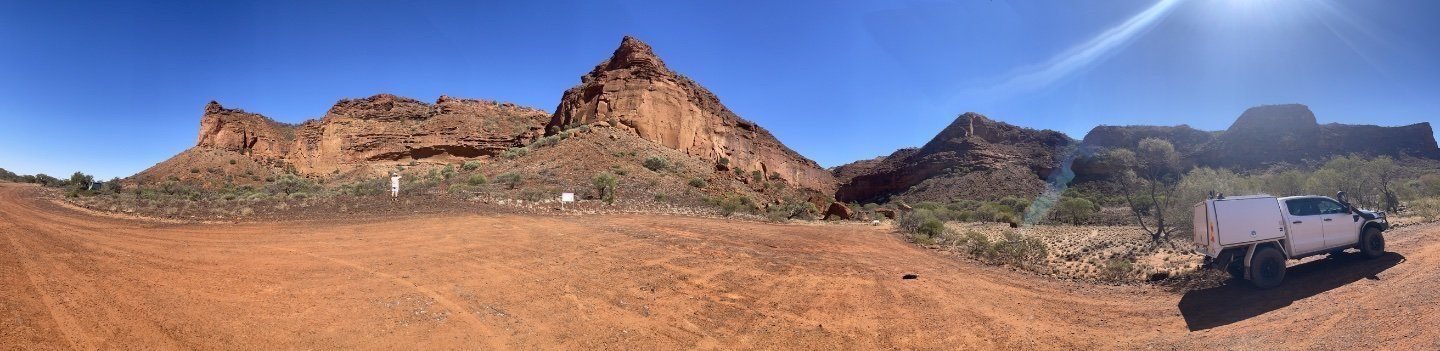
Saturday 20/5/2023 left Kennedy Ranges followed Lyons River Road turned left at Ullawarra Road ,heading to Mount Augustus ashburton Meekatharra roughly 265klm to get there .
Watch-out for wildlife

Lyons River Crossing

We got to Edmund - Gifford Creek Road went over Lyons River crossing continued down to Cobra - Mount Augustus Road then came across this wool shed.


Believe its Nyang Shearing Shed (built 1912) is a documented historic site along this route Nyang was one of the significant pastoral stations in the Upper Gascoyne region during the wool boom era.
Carnarvon-Mullewa Road
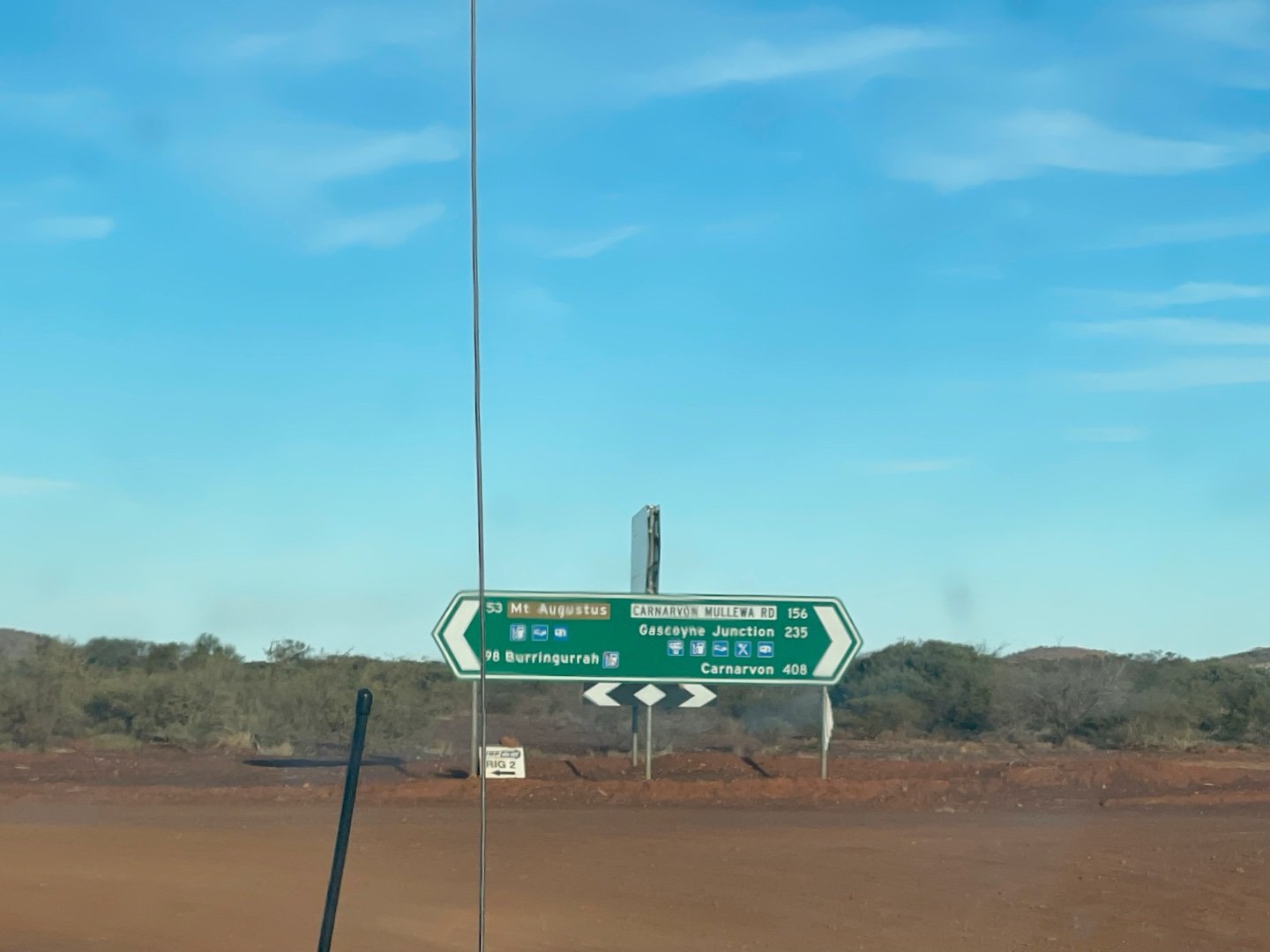
Cobra Dairy Creek Road
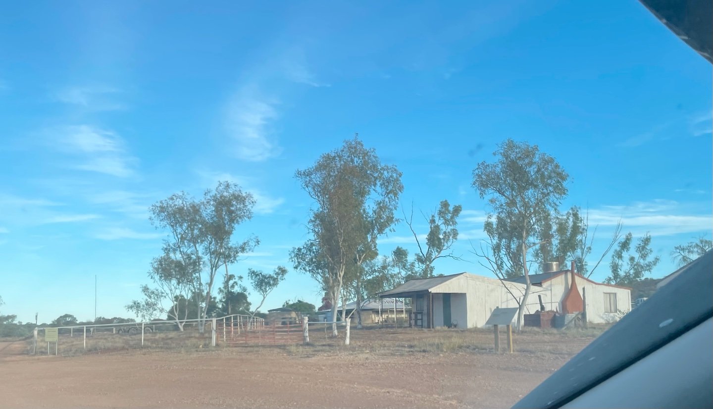
Mount Augustus

Marvel at the world's largest monocline. Twice the size of Uluru, Mount Augustus rises from the rust-red plains of the Golden Outback. Wake up early to Corellas hundreds of them.
Activities:Birdwatching, Camping, Rock Climbing, Walks, Hiking


Mt Augustus Shop/Office/Facilites
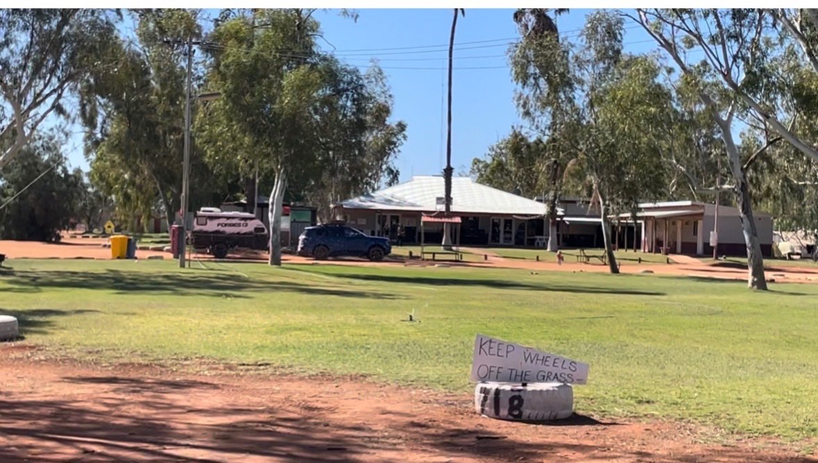
Arrived just after 5 pm managed to sort our supplies of fuel and water. Got our washing on, dinner but the most rewarding thing of all was a beautiful warm shower. Just amazes me this fantastic oasis in the literally in the middle of nowhere. Its been refurbished since the last time we were here, definitely very busy tourist attraction. Restaurant meals available also fuel and gas.

Another View
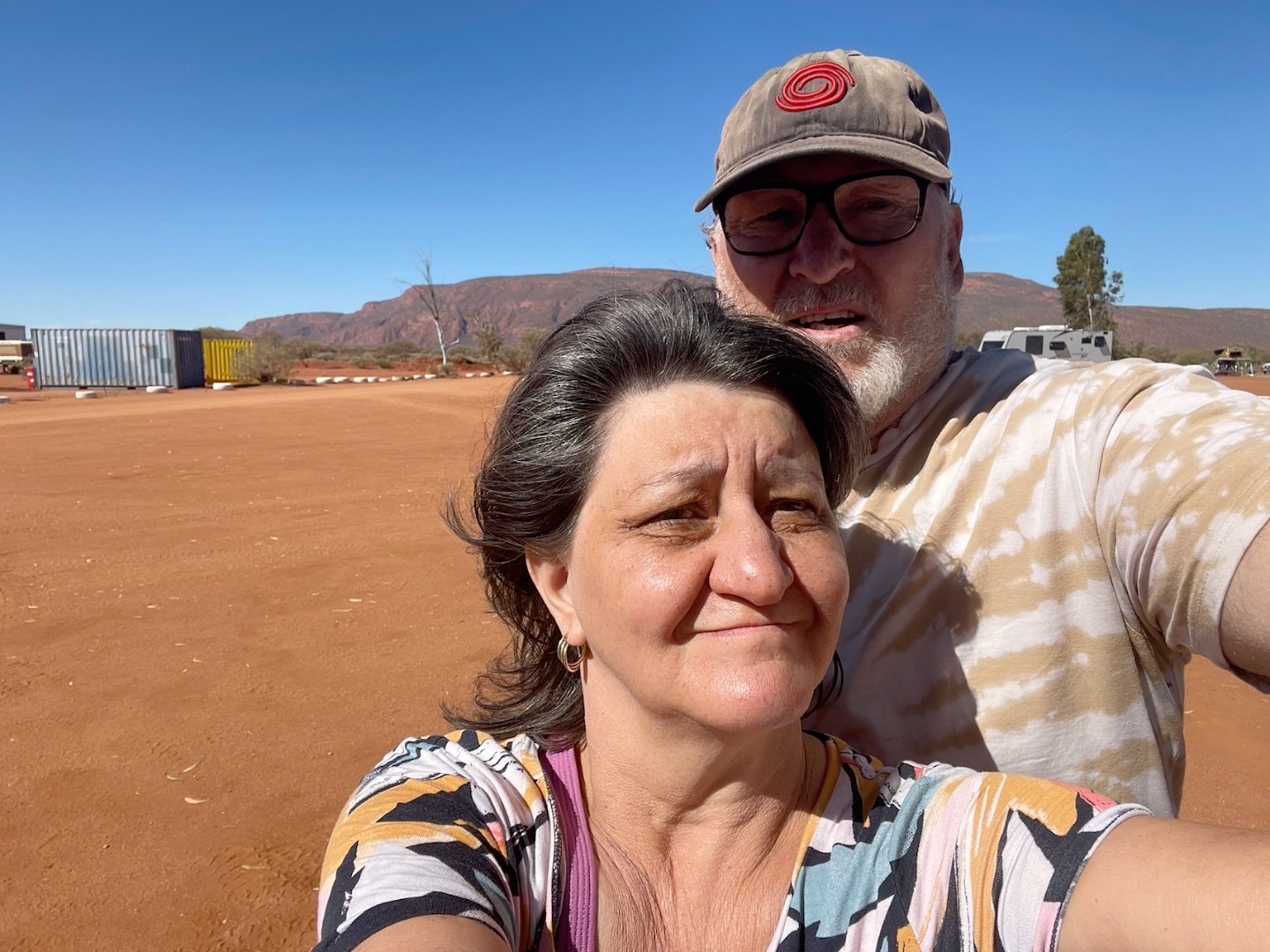
Leaving, Final Pictures
https://www.westernaustralia.com/au/attraction/mount-augustus/56b266ead5f1565045daa0ce
Sunday 21/5/2023 left around 12 shower, repacked, took photos drone ect continued horrendous water damaged trek,blaring sun.driving very slow due to dips and creek beds.after on to bush camp table hill around 4 .

Dooley Downs Homestead
Dooley Downs Homestead is a historic, now abandoned, sheep/cattle station homestead located in the remote Upper Gascoyne region of Western Australia stopped in had a quick look interesting stopover.
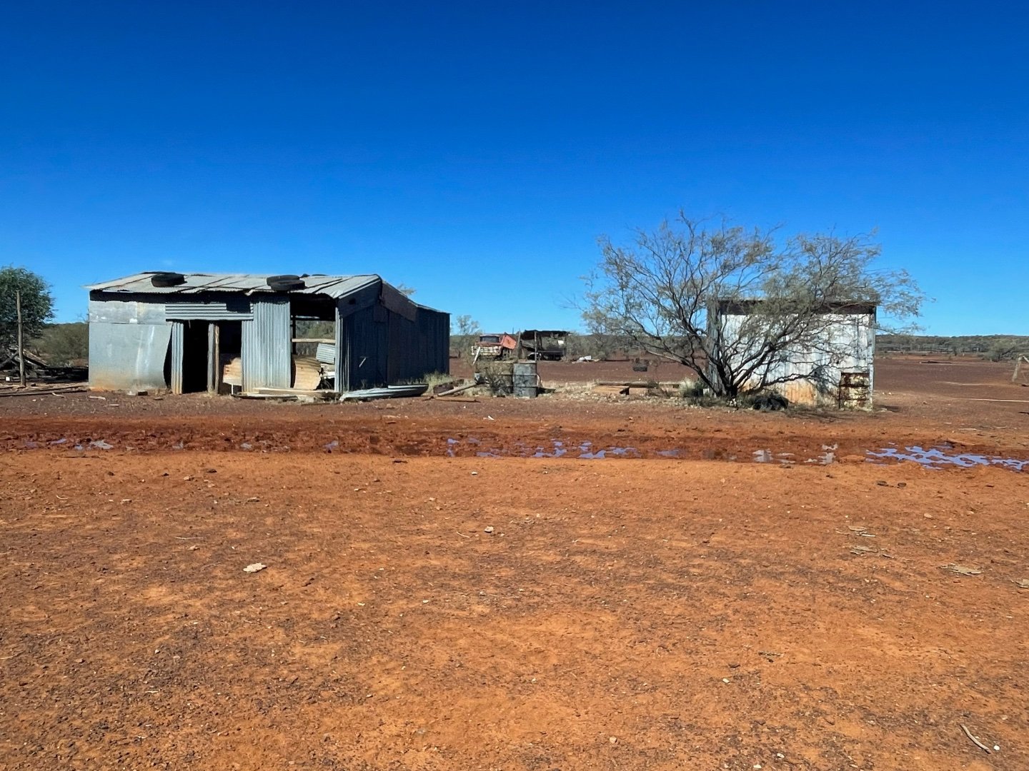
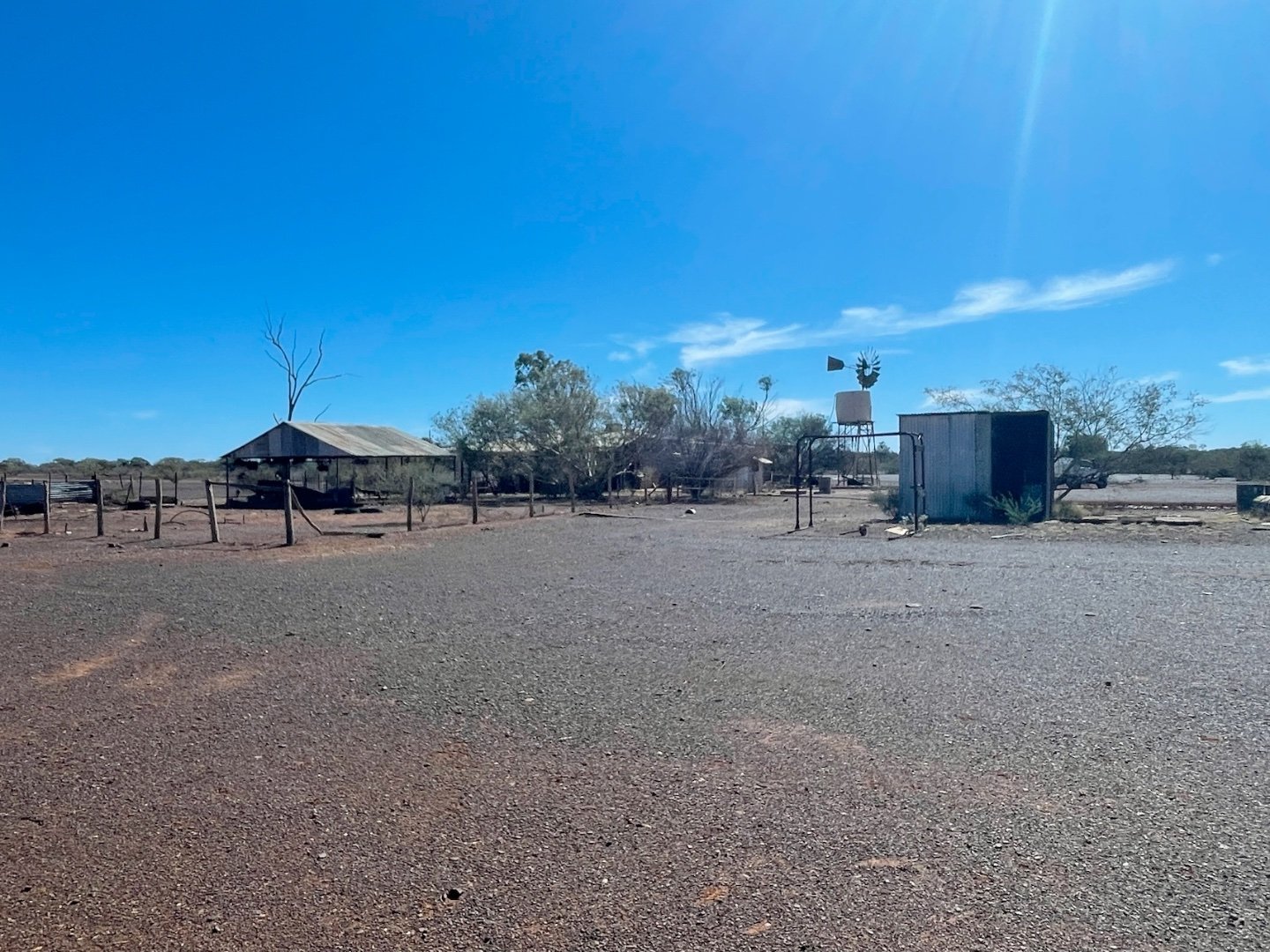


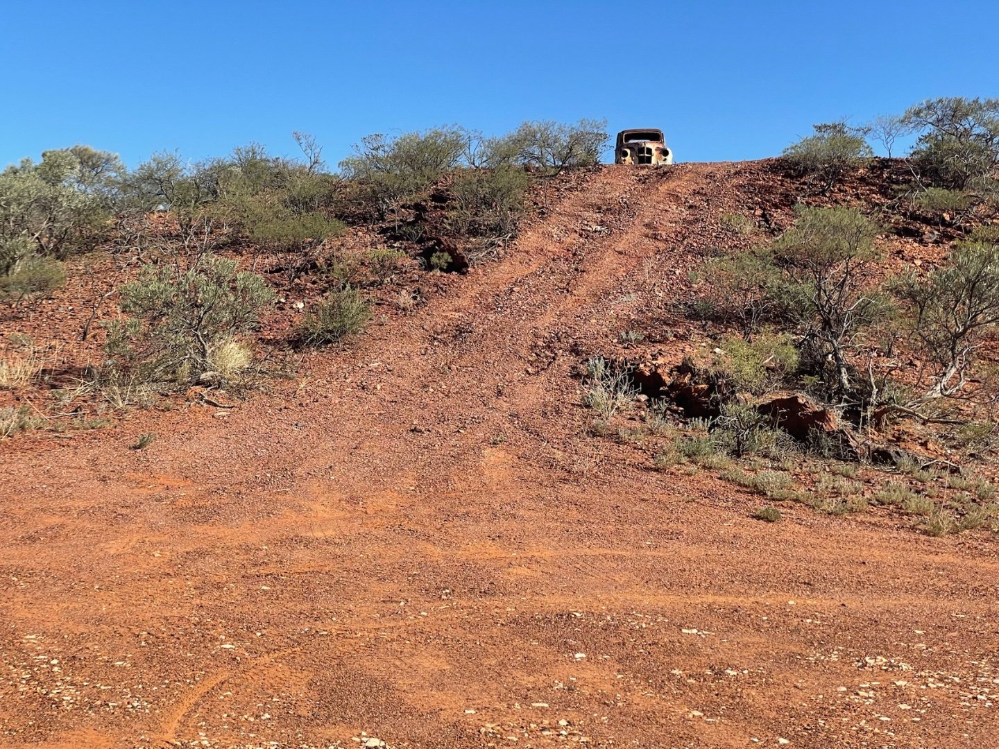
Went down Pinduddy (Dooley downs road to ashburton meekatharra road approx then 60 klms stopped for lunch at the old car .How it got up there still bewilders me.



Continued on to horrendous water damaged trek with sun blaring down we drove very slowly due to dips and creek beds on to bush camp table hill around 4 .
Innawanga Bush Camp


22/5/2023
Following day, when got to Asburton down’s bridge signage said it was closed, with little water running over it, but we continued on , there was no way after 150kmls of horrid roads easy decision made we weren’t going back to where we started our track.
Ashburton Bridge

Heading to Paraburdoo Innawanga/Nanutarra,Rocklea


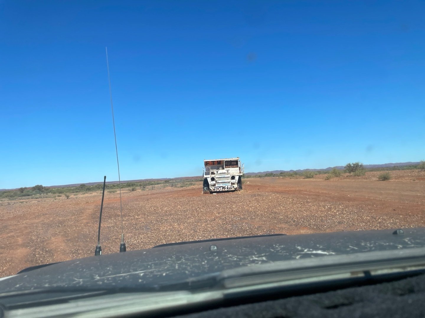
Not long to go now - Interesting things along the way I believe they were at least 10 kms out.

Famous Red Dog Tribute Monument


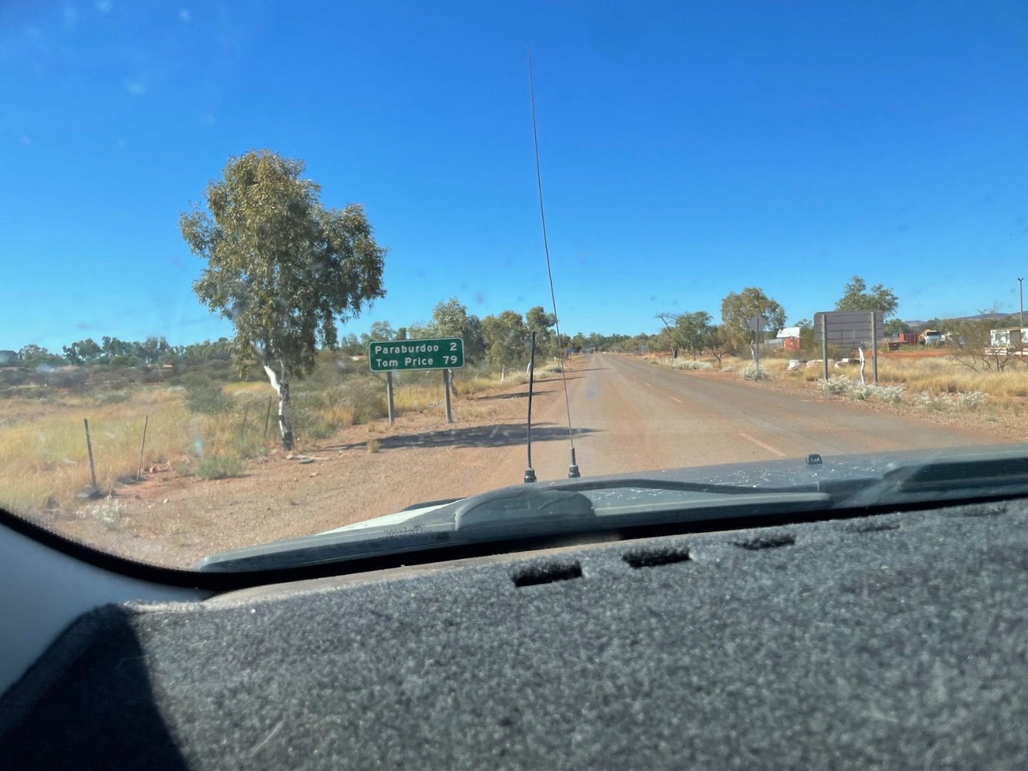
Finally at Paraburdoo lunch on roadside. We were unable to find water there so continued on to Tom Price. Fuel $1.39 filled water tanks too
Paraburdoo → Tom Price (~75km, ~1 hr) Short hop north on the Paraburdoo–Tom Price Road. Tom Price is the main service hub — supermarket, fuel & water.
Tom Price

Beautiful views along the way

Tom Price → Karijini National Park (~90km, ~1.5 hrs)
Take
Banjima Drive
east into the park. The main gorge precinct (Dales Gorge, Circular Pool, Fortescue Falls) is well signposted from there.
Tips:
- The road is sealed all the way — no 4WD required for the main route
- Book Karijini camping well in advance via Parks & Wildlife (exploreparks.dbca.wa.gov.au)
- Carry plenty of water — it gets very hot in the Pilbara
Arrived just after 5pm Karagini
